Sam Keller · 16 October 2026
Volunteer Coordination Platforms and Real-Time Alerts on Woodland Disturbance Patterns
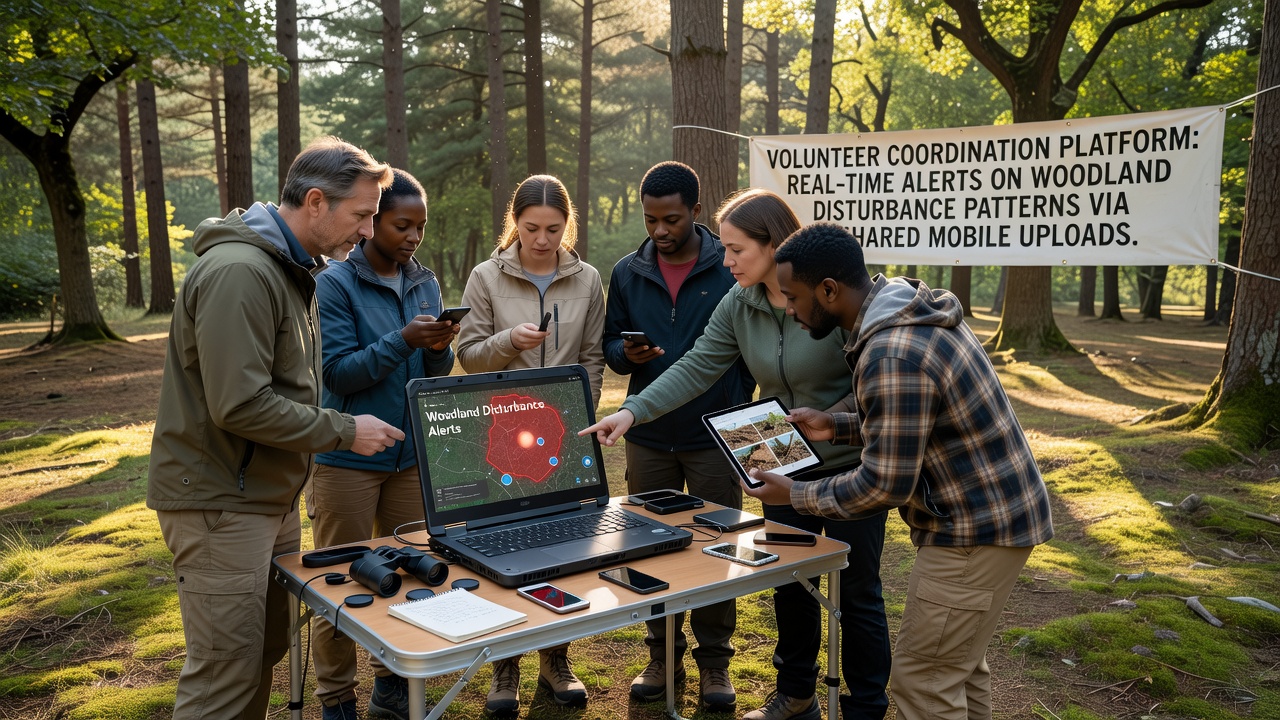
Volunteer coordination platforms have emerged as systems that connect individuals across regions to report woodland disturbances through mobile uploads, and these tools generate alerts that reach land managers within minutes of each submission. Data from multiple deployments show that uploads typically include geotagged photos, timestamps, and descriptive notes, which feed into centralized dashboards that flag patterns such as unauthorized trail creation, storm damage, or early signs of pest outbreaks.
Platforms operate by routing incoming reports to automated filters that compare new entries against historical baselines, and when clusters appear in a defined area the system issues notifications to nearby volunteers plus official agencies. Studies conducted by the US Forest Service indicate that response times for verified incidents dropped by an average of 47 percent in zones where mobile reporting networks were active between 2023 and 2025.
How Mobile Uploads Trigger Coordinated Responses
Users open an app, capture an image of a fallen canopy section or fresh tire tracks, and attach a short voice note before submitting, after which the platform assigns a preliminary classification and pushes the record to a live map. Observers note that the same interface also displays recent reports from other contributors, allowing volunteers to avoid duplicate efforts while confirming whether an event is spreading.
Alerts propagate through SMS, email, or push notifications depending on user preferences, and when several uploads reference the same coordinates within a one-hour window the system escalates the case to regional coordinators. Research from the University of British Columbia’s Faculty of Forestry demonstrates that such escalation logic reduced false-positive rates to below 12 percent during field trials in coastal British Columbia forests.
Integration with Existing Forest Management Systems
Many platforms export structured data directly into agency geographic information systems, and this seamless transfer lets foresters overlay volunteer reports with satellite imagery or LiDAR layers for rapid validation. In October 2026 several European networks completed API updates that allow direct ingestion of mobile records into the European Environment Agency’s forest disturbance database, expanding coverage across member states without requiring new hardware on the ground.
Training modules within the apps guide contributors through consistent photography angles and measurement techniques, and completion of these modules unlocks additional map layers for users who want to focus on specific disturbance types such as bark-beetle galleries or erosion gullies. Figures released by Natural Resources Canada show that trained volunteers submitted 3.2 times more usable records than untrained participants during the 2024 field season.
Scaling Coverage Through Regional Networks
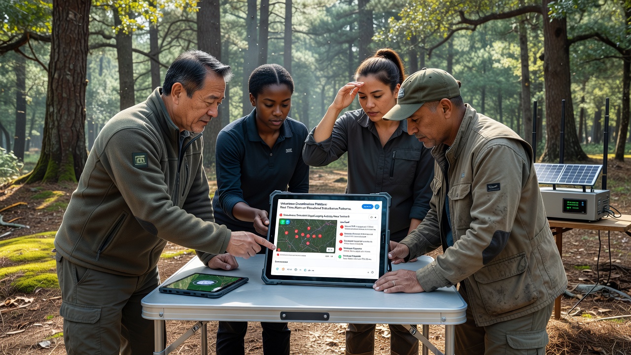
Regional administrators assign territories to volunteer teams based on terrain accessibility and known risk factors, and these assignments update dynamically when new disturbance clusters emerge. The resulting coverage maps help agencies allocate limited patrol resources to locations where multiple independent uploads converge, adn data indicate that this targeted approach increased detection rates for illegal cutting by 31 percent in monitored watersheds.
Cross-border collaborations have also formed, allowing uploads from one jurisdiction to trigger alerts in adjacent management units when windthrow or fire spread crosses administrative lines. Reports compiled by the Australian Department of Climate Change, Energy, the Environment and Water document similar patterns in eucalyptus forests, where volunteer networks supplied the first ground confirmation of windstorm damage during the 2025 spring season.
Data Quality Controls and Verification Steps
Automated scripts flag reports that lack clear imagery or fall outside expected geographic bounds, and these flagged items route to experienced volunteers for secondary review before wider distribution. Peer-review layers inside the platforms let contributors comment on or rate the clarity of each upload, and aggregate scores influence how quickly a report advances to official channels.
Periodic calibration workshops bring together volunteers and agency staff to review archived cases, and feedback from these sessions refines classification algorithms used by the platforms. Longitudinal records maintained by several university research groups show steady improvement in classification accuracy, rising from 78 percent in early deployments to 91 percent after three years of iterative training.
Conclusion
Volunteer coordination platforms continue to link mobile uploads with automated alert systems that shorten the interval between disturbance detection and management action, and ongoing integrations with national databases suggest the approach will expand further. Continued refinement of verification protocols and cross-regional data sharing will determine how widely these networks influence operational forest management in the coming years.