Elena Hughes · 2 October 2026
Mapping Microclimates: How Volunteers Contribute Precise Temperature Readings Across Forest Canopies
Forests create layered temperature variations known as microclimates that influence plant growth, insect activity and overall ecosystem stability, and volunteers have taken on the task of recording these readings at canopy level with handheld and stationary sensors. These participants work in coordinated networks that span multiple regions, gathering data points at regular intervals throughout the day and night to capture fluctuations that standard weather stations often miss because of their placement at ground level or in open areas.
Volunteer Networks and Data Collection Methods
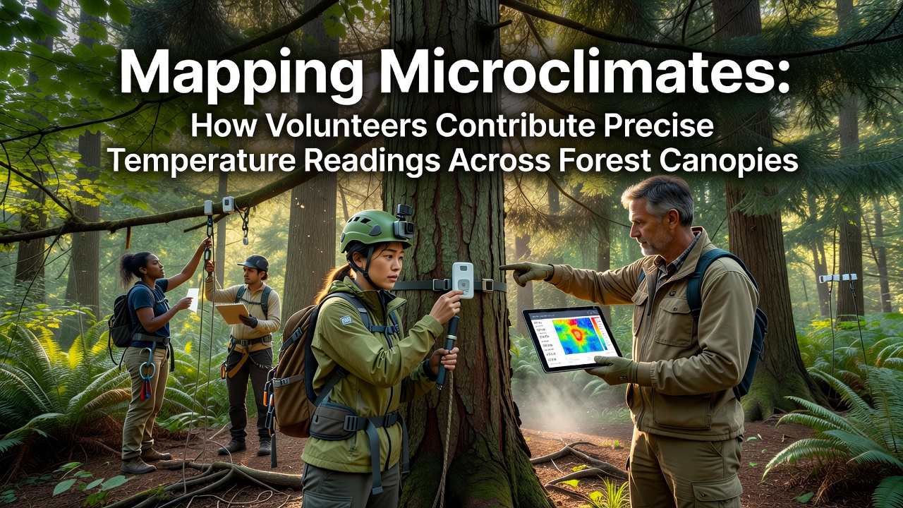
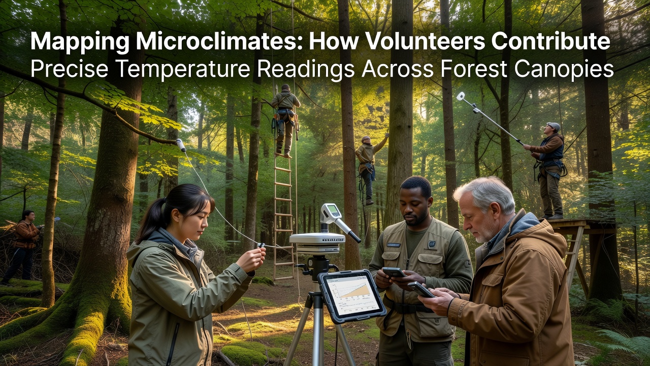
Groups organize through established citizen science platforms where individuals receive training on sensor calibration and placement before heading into designated forest plots, and they use lightweight devices that attach to tree branches or hang from lines stretched between trunks to reach heights of 10 to 30 meters. Readings occur at fixed times such as dawn, midday and dusk, with additional measurements added during heat waves or cold snaps to document extreme events, and the collected figures transfer automatically to central databases via mobile applications that tag each entry with GPS coordinates and timestamps.
Equipment ranges from basic digital thermometers paired with data loggers to more advanced wireless units that transmit readings in real time, and participants follow standardized protocols to ensure consistency across different sites and seasons. Training sessions cover topics like avoiding direct sunlight on sensors and accounting for wind effects, while follow-up checks by project coordinators verify that equipment remains secure and functional over weeks or months of deployment.
Geographic Coverage and Seasonal Patterns
Projects operate in temperate deciduous forests of North America, tropical rainforests in Southeast Asia and boreal stands in northern Europe, creating datasets that span diverse canopy structures and climate zones. In October 2026 several programs plan expanded sampling runs to capture autumn cooling trends before leaf drop alters shade patterns and airflow within the canopy layers.
Researchers cross-reference volunteer readings with satellite imagery and ground-based lidar scans to build three-dimensional temperature maps, and these combined layers reveal how canopy density affects heat retention during the day and radiative cooling at night. Data sets from multiple years show that certain forest patches maintain temperatures several degrees cooler than surrounding areas even during peak summer conditions, information that feeds into broader climate models used by agencies such as the National Oceanic and Atmospheric Administration.
Integration with Professional Research
Academic teams incorporate volunteer-collected numbers into peer-reviewed studies on species distribution and carbon cycling, and the added spatial resolution improves predictions of how forests respond to rising global temperatures. One ongoing collaboration links readings from Canadian boreal sites with similar efforts in Australian eucalyptus woodlands, allowing comparisons of how different tree architectures shape microclimate stability across continents.
Quality control procedures include duplicate sensor checks at select locations and statistical filtering to flag outliers before final upload, and project managers provide regular feedback to volunteers on data accuracy. This feedback loop encourages continued participation and refines collection techniques over successive field seasons, while open-access portals allow anyone to view aggregated maps and download raw files for independent analysis.
Technology Advances and Future Directions
Recent sensor improvements include smaller batteries with longer life spans and improved resistance to moisture, features that reduce the need for frequent maintenance trips into remote areas. Software updates to the associated apps now include automated alerts when readings fall outside expected ranges, prompting volunteers to inspect equipment on site and confirm whether an anomaly stems from natural variation or a technical issue.
Funding for these initiatives comes from government environmental programs, university grants and nonprofit conservation organizations that recognize the value of dense observational networks. Partnerships with forestry agencies in several countries supply access to managed lands where volunteers can work alongside professional crews, and joint workshops share findings on how microclimate data informs sustainable harvesting practices and reforestation planning.
Conclusion
Volunteer efforts supply temperature readings that fill critical gaps in forest canopy monitoring and support refined climate and ecological models used worldwide. Continued expansion of these networks in 2026 and beyond will depend on sustained coordination between participants, researchers and funding bodies to maintain equipment standards and data accessibility across all participating regions.