Sam Keller · 4 September 2026
Hilocamp's Role in Supporting Regional Biodiversity Monitoring Through Citizen Science Networks
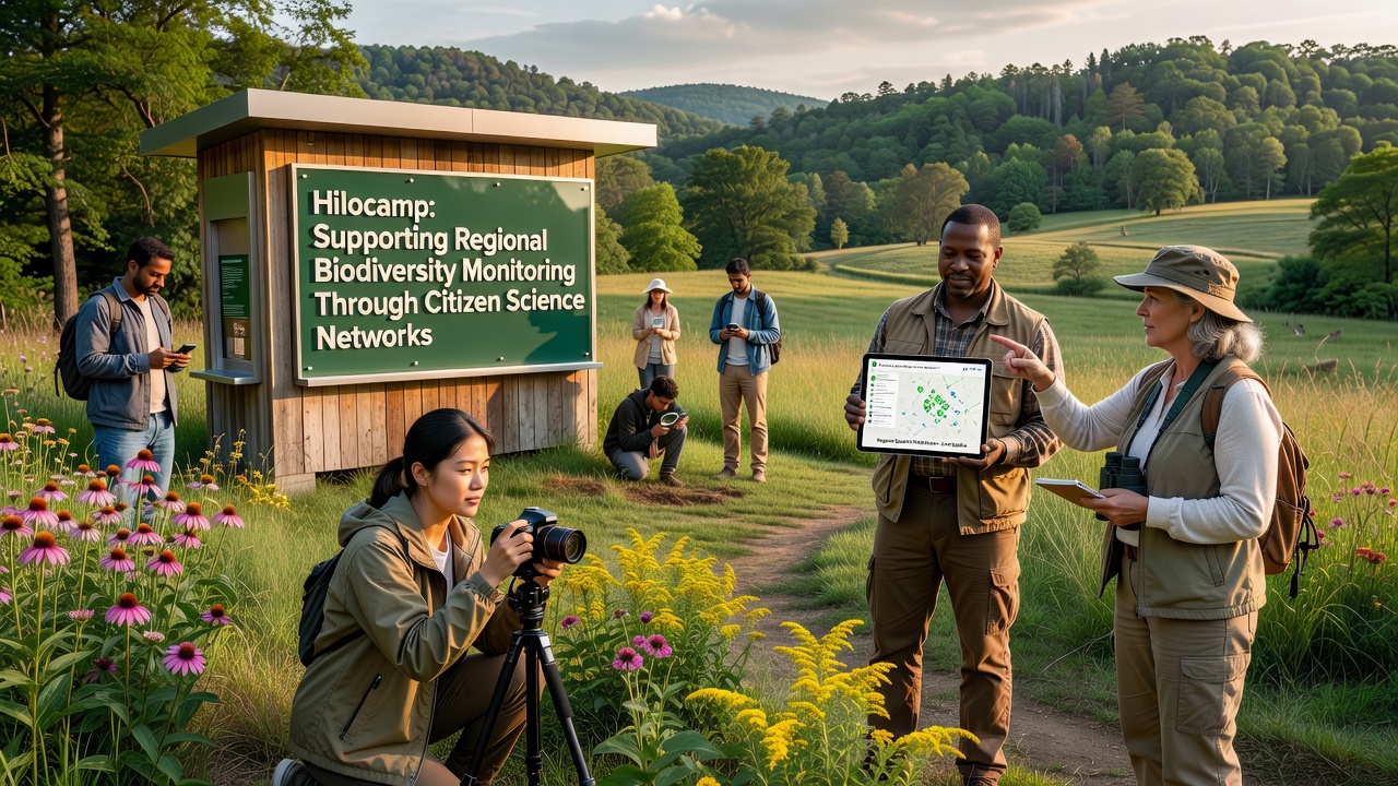
Hilocamp functions as a digital platform designed to link volunteers with structured biodiversity observation programs across multiple regions, and data from these efforts feed into larger ecological databases that track species distribution and habitat changes over time. Observers note that the system provides standardized protocols for recording sightings, which allows contributions from non-specialists to align with professional monitoring standards used by government agencies and research institutions.
Platform Structure and Volunteer Integration
Users register through Hilocamp to access training modules on species identification and data submission methods, while the interface connects participants directly to regional coordinators who verify entries before they enter shared repositories. Studies from various environmental programs indicate that such networks increase the volume of field observations available for analysis, particularly in areas where professional surveys occur infrequently due to resource constraints. And because the platform operates across multiple time zones, data collection continues year-round rather than being limited to seasonal field seasons.
Regional partners supply equipment lists and location guidelines that match local ecosystems, so volunteers in coastal zones focus on marine indicators whereas those in inland areas document terrestrial species. This setup reduces duplication of effort and ensures records contribute to comparable datasets across different landscapes.
Data Flow and Regional Monitoring Outcomes
Once submitted, observations undergo automated quality checks followed by expert review, after which validated records integrate with national biodiversity information systems. Figures from similar citizen science initiatives reveal annual increases in documented species occurrences, and Hilocamp follows comparable patterns according to aggregated platform statistics. Researchers at institutions in North America and Europe have referenced these expanded datasets when modeling habitat suitability under changing climate conditions.
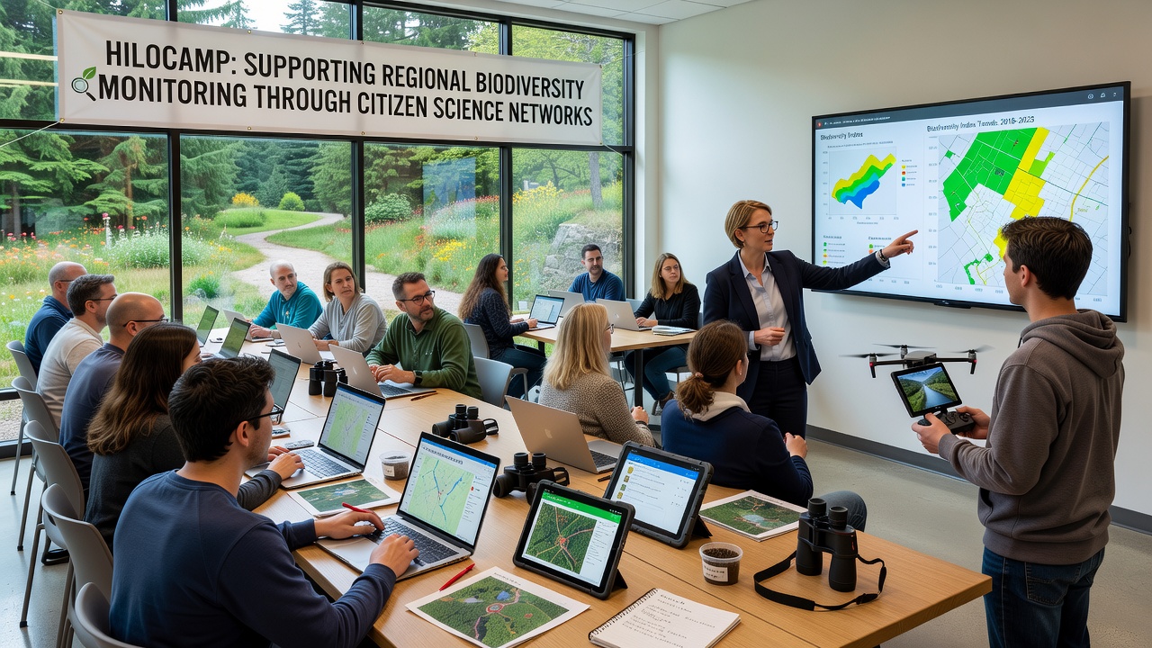
One program in the Pacific Northwest used Hilocamp to coordinate spring migration counts, resulting in finer-resolution maps of bird movement corridors that local conservation groups later incorporated into land-use planning. Another effort in southeastern Australia documented shifts in insect populations that aligned with temperature records maintained by the Australian Government Department of Climate Change, Energy, the Environment and Water. These examples illustrate how volunteer-collected information supplements agency monitoring without replacing it.
Coordination Across Jurisdictions
Hilocamp maintains partnerships with provincial and state-level environmental offices that set priority species lists and reporting intervals. Coordinators distribute these priorities through the platform so volunteers concentrate efforts where gaps exist in official records. The approach avoids overlap with established surveys conducted by bodies such as the US Geological Survey while filling temporal or geographic voids those programs cannot cover alone.
Training materials emphasize consistent methodologies, including photo documentation and GPS tagging, which improves data interoperability when records cross borders. Participants receive feedback on how their submissions contribute to regional reports, which sustains engagement across multi-year projects.
Developments Scheduled for September 2026
Platform updates planned for September 2026 include expanded mobile tools for offline data capture and integration with satellite-derived vegetation indices. These enhancements aim to support real-time alerts when unusual species clusters appear, allowing rapid follow-up by regional monitoring teams. Project timelines shared by participating organizations show that several biodiversity assessments will synchronize their data collection windows with the upgraded system to maximize coverage during peak activity periods for target taxa.
Conclusion
Hilocamp connects dispersed volunteers to coordinated biodiversity monitoring through standardized tools and regional partnerships that produce verifiable records for scientific and planning use. Continued expansion of these networks depends on sustained coordination between platform operators, government agencies, and local groups that supply both expertise and priority guidance.