Sam Keller · 30 October 2026
Community-Driven Soil Analysis Initiatives Reveal Nutrient Shifts in Protected Woodlands Through Volunteer Sampling
Community-driven soil analysis initiatives have expanded across protected woodlands in recent years, with volunteers collecting samples that document measurable changes in nutrient levels such as nitrogen, phosphorus, and potassium. These programs rely on standardized sampling protocols that participants follow at designated sites, and data compiled through October 2026 indicates gradual increases in certain nutrients alongside declines in others within forest reserves and national parks. Researchers from multiple institutions have noted that volunteer efforts fill gaps left by limited professional monitoring budgets, while organizations coordinate training sessions to ensure consistent collection techniques across regions.
Sampling Methods and Volunteer Coordination
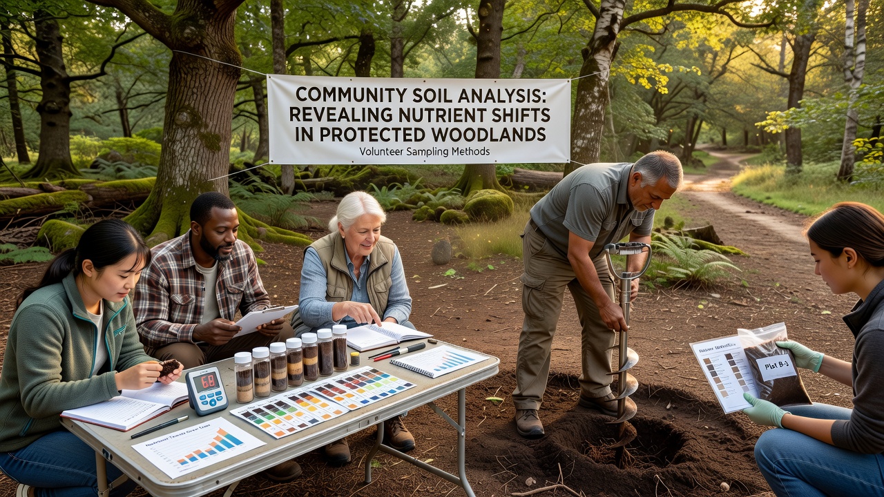
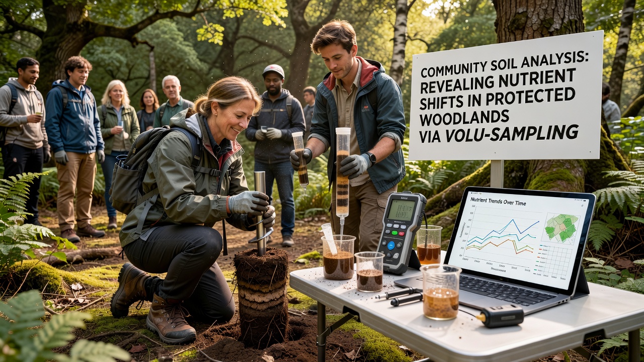
Volunteers typically use soil corers or augers to extract samples at fixed depths, often between 0 and 20 centimeters, before labeling and storing them for laboratory analysis or portable testing kits. Programs distribute detailed guides that specify grid patterns for sampling points, and participants record coordinates, vegetation cover, and recent weather conditions on shared digital platforms. Training workshops cover safety procedures, equipment calibration, and contamination avoidance, which helps maintain data quality comparable to professional surveys conducted by government agencies. In one documented case, a network operating in temperate deciduous forests trained over 200 individuals who returned samples from 45 sites during a single season, generating datasets that spanned multiple years of observation.
Documented Nutrient Changes
Analysis of samples has shown elevated nitrogen concentrations in several protected areas, a pattern linked to atmospheric deposition from agricultural and urban sources according to reports from the U.S. Environmental Protection Agency. Phosphorus levels have fluctuated in other zones, with some woodlands displaying reductions that coincide with altered leaf litter decomposition rates. Potassium measurements remain more stable in many locations, though localized spikes appear near trails where foot traffic increases soil disturbance. These shifts emerge from aggregated results rather than isolated readings, and statistical reviews of multi-year records confirm trends that align with broader environmental monitoring conducted by forestry services in North America and Europe.
Integration with Professional Research
Academic teams incorporate volunteer data into larger models that predict long-term woodland health, and cross-validation studies compare citizen-collected results against those from automated sensors deployed by research stations. Findings reveal that volunteer sampling captures fine-scale variations missed by sparse professional networks, particularly in understory zones where canopy cover influences moisture retention and nutrient cycling. Partnerships with institutions such as the Canadian Forest Service have allowed programs to expand into boreal regions, where participants document changes in organic matter content that affect carbon storage capacity. Data sharing agreements ensure that raw measurements remain publicly accessible while protecting site locations in sensitive habitats.
Geographic Expansion and Seasonal Patterns
Initiatives now operate in temperate, Mediterranean, and subtropical woodlands, with sampling schedules adjusted to account for seasonal leaf fall and precipitation cycles. October 2026 collections in several European reserves captured post-summer nutrient profiles that differed from spring baselines, highlighting the value of repeated measurements at the same coordinates. Observers note that volunteer density tends to increase during milder months, which produces denser spatial coverage and reduces gaps in seasonal datasets. Programs in Australia have adapted similar methods to eucalyptus-dominated forests, where phosphorus depletion appears more pronounced than in northern hemisphere sites according to summaries from the Australian Bureau of Agricultural and Resource Economics and Sciences.
Data Management and Quality Assurance
Centralized databases store volunteer submissions alongside metadata that includes sampler experience level and equipment used, allowing analysts to apply weighting factors during trend calculations. Automated checks flag outliers that may stem from procedural errors, and follow-up verification visits occur at randomly selected sites to confirm consistency. These steps support the production of annual reports that feed into regional conservation planning documents, and figures from aggregated datasets have informed adjustments to buffer zone regulations around protected areas. Researchers continue to refine mobile applications that guide participants through each step, reducing transcription mistakes and accelerating the upload of field observations.
Conclusion
Community-driven soil analysis initiatives continue to supply detailed records of nutrient dynamics in protected woodlands, supported by volunteer adherence to established protocols and integration with institutional datasets. Measurements collected through October 2026 and earlier periods demonstrate both gradual accumulations and localized depletions that align with independent monitoring efforts by government and academic bodies. Expansion into additional regions and refinement of data handling practices sustain the flow of information used for habitat management decisions.